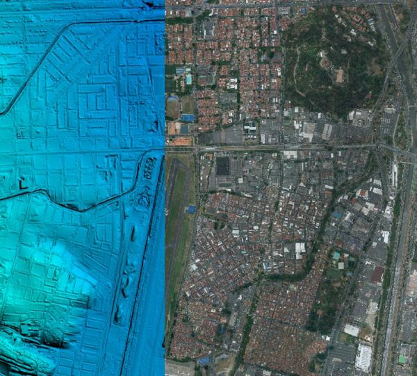
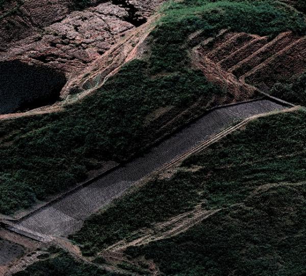
GIS Survey and processing
Planning, surveying, processing and cartographic products generation, such as orthophotos, digital terrain models, digital surface models, 3d vector cartography, etc., Based on the use of active and passive remote sensors such as: Large format photogrammetric cameras, Lidar sensors, Multibeam echosounder , echosounder singlebeam, etc.


